
Reference material
A glossary for people who are new to the terminology
These are short, plain-language definitions, not legal or technical standards. Grouped by theme so you can skim to the section you need.

Definitions written for the first time you hear a term
Planning documents borrow words from engineering, law, and design, often without pausing to explain them. This page collects the terms that come up most often in the topics we cover, described the way we would explain them to a friend rather than to a colleague.
If a term you encountered elsewhere is missing here, the contact page is a good place to ask about it.
Transportation & mobility
Road diet
Reducing the number or width of car travel lanes on a street to make room for bike lanes, wider sidewalks, or turn lanes, usually without changing the curb-to-curb width.
Protected bike lane
A cycling lane separated from car traffic by a physical barrier such as a curb, planters, or parked cars, rather than by paint alone.
15-minute neighborhood
A planning concept describing an area where most daily needs, such as groceries, schools, and transit, are reachable within about a 15-minute walk or bike ride.
Transit-oriented development
Building homes, shops, and offices at higher density close to a train or bus station, so more residents can reach transit without a car.
Congestion pricing
Charging a fee for driving into a busy area during peak hours, intended to reduce traffic volume and fund transit improvements.
Green & public space
Pocket park
A small public green space, often created from a vacant lot or unused parking area, serving a single block or a few nearby buildings.
Green infrastructure
Natural or engineered systems, such as rain gardens and green roofs, that manage stormwater and reduce heat while also functioning as public amenities.
Urban tree canopy
The layer of leaves, branches, and stems of trees as viewed from above a city, often tracked as a percentage of total land area.
Rewilded lot
A vacant or underused piece of land intentionally allowed to grow native vegetation, sometimes with light paths added for public access.
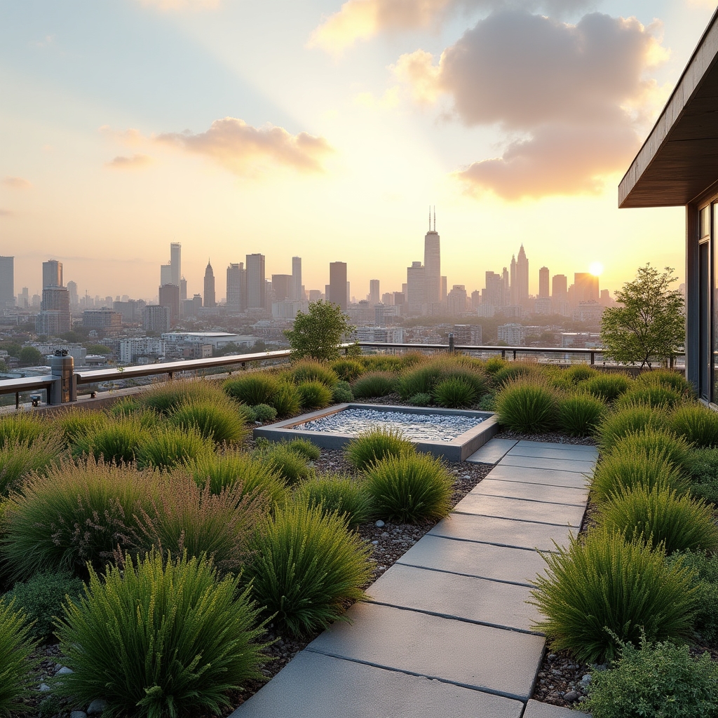
Green infrastructure like this rooftop system is often designed to do double duty, absorbing rainwater while providing shade and habitat.
Housing & density
Missing middle housing
Building types such as duplexes, triplexes, and small apartment buildings that sit between single-family homes and large towers in scale.
Accessory dwelling unit
A small secondary home, such as a converted garage or backyard cottage, built on the same lot as a main house.
Zoning overlay
A set of additional rules applied on top of standard zoning within a defined area, often used to encourage a specific design outcome.
Inclusionary zoning
A policy requiring or encouraging new residential developments to include a share of units priced for lower or moderate incomes.
Mixed-use building
A structure combining more than one function, commonly shops or offices on the ground floor with housing above.
Process & governance
Master plan
A long-range document setting general goals and guidelines for how a city or district should grow over coming decades.
Public comment period
A defined window of time during which residents can formally submit feedback on a proposed plan before a decision is made.
Participatory budgeting
A process allowing residents to propose and vote on how a portion of public funds should be spent within their community.
Environmental review
A formal assessment of the likely environmental effects of a proposed project, often required before larger developments can proceed.